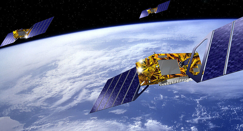
Satellite Based Navigation System: Obstacles & Opportunities
GNSS or Global Navigation Satellite System and RTK (Real Time Kinematic) have combined into an impressive form of technology. However, with every innovation, there are not only a lot of advantages but also a few challenges.
Here, we will discuss some of the obstacles one might face when using high-precision technology like this satellite based navigation system along with how to overcome those issues.

Problems and Fixes for Satellite Based Navigation System
Here are the most common challenges one encounters while using this technology:
● Large objects that hinder the field of application like structural constructions and trees.
● A lack of strong and reliable communication to services that can make adjustments and corrections as needed.
● Institutional and financial players that exercise their influence of the use and acceptance of GNSS overhaul.
The sophisticated mechanics involved in systems like the European global navigation satellite system tend to complicate things for users regarding the appropriate equipment to use. Fortunately, the AIOS GNSS are designed and merged with RTK while taking these challenges into consideration to simplify the decision-making process.
Tackling the Issue of Obstructions
A multi-constellation, full-featured GNSS receiver like AIOS GNSS takes care of the first issue easily. This is due to the steadily rising satellite constellation which can cover difficult environments from several angles, although it requires an equally-intelligent GNSS receiver, which the AIOS GNSS certainly is.
Ultra RTK is capable of tracking not just a greater number of signals but also returns weaker signals successfully. Moreover, it adapts according to changes in the situation by choosing the most suitable signals to render extremely precise positions. This is something of great importance in tasks like land tax collection and administration.
Overcoming the Communication Barrier
Applying a robust communication system is key to overcoming the second challenge. Many users of some type of previous satellite based navigation system or another may have faced interruptions which led to a decrease in accuracy from cm to m.
However, StarFire offers excellent communication specifications for smart interaction. It decides whether a correction is needed and available, after which the SBAS rectifications are broadcast through INMARSAT extra-terrestrial satellites. These are independent of local service stations and require no reference data to provide data with cm accuracy whatsoever.
Accepting and Changing Ambiguity
GNSS modernization is a complicated and confusing process. Nevertheless, the hurdle regarding the doubt and uncertainty around modern technology, like a European global navigation satellite system, can be overcome by considering the most flexible options in receiver design, like the AIOS GNSS.
Many factors are still unanticipated and, therefore, cannot be changed. However, what we can control is the type of receiver we deploy and how adaptive to change that receiver is. The AIOS GNSS is definitely prepared to handle these uncertain factors and cope with all the changes. So, if anyone asks whether your receiver can record all planned GNSS signals, the answer would be a big “YES”, when you choose AIOS.


Comments
Post a Comment